Every year, large un-dammed, free-flowing rivers rise and fall with seasonal rainfall levels. This is one of the Luangwa’s greatest attributes; it is a natural river that provides the life to all that thrives in the South Luangwa, one of Africa’s finest wildlife areas.
During each rainy season that I have been here – now 11 in total – I have seen the incredible change in the river level (more than 6 meters vertical change even in a “normal” year) and marvelled at the way the water spreads out through the lagoon systems and deposits silt on the ground, providing rich nourishment to the next season’s grass growth.
But this year, the river came up much higher than most and by far the highest since it last flooded dramatically which was in March 2007. It has turned the valley floor into a network of channels and put huge pressure on the human-made infrastructure such as roads and bridges.
Here are a few photos to show the area, and you can see more on some video footage that I shot of the evacuation of our house! Apologies that the images are not up to “normal” quality but there are plenty of crocs in the water so I wanted to move quickly which meant using only an iPhone and not hanging around too much!!
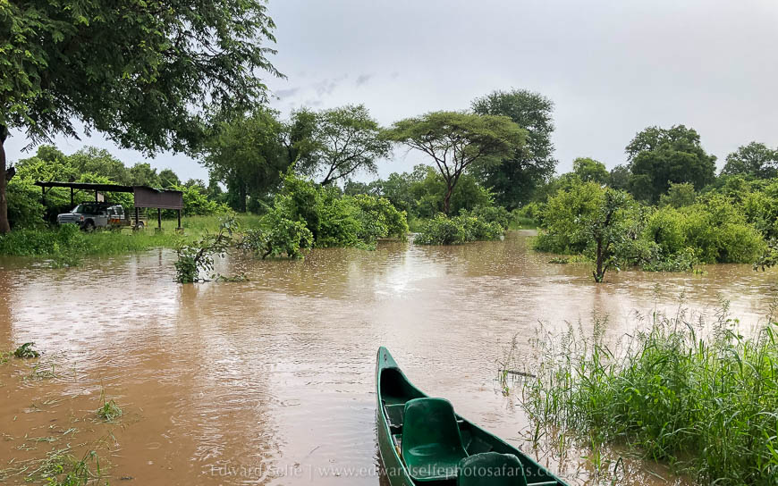
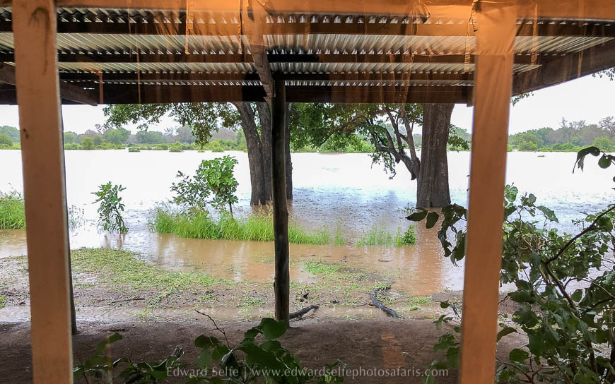
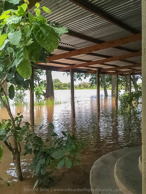

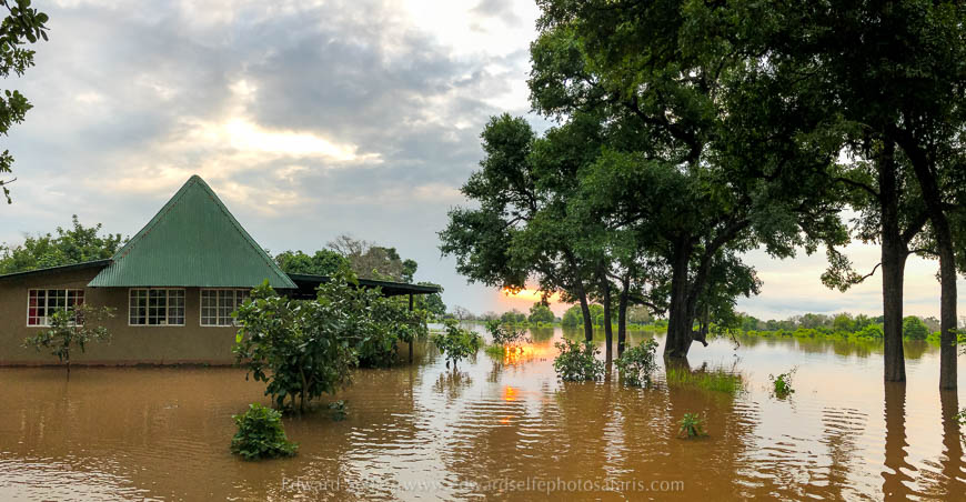
Eventually we decided to move out from our house and were evacuated by a boat from Conservation South Luangwa – thank you to them for the rescue! At the time of writing the water has not come into the house, but it is still very high and we are not able to access except by boat.
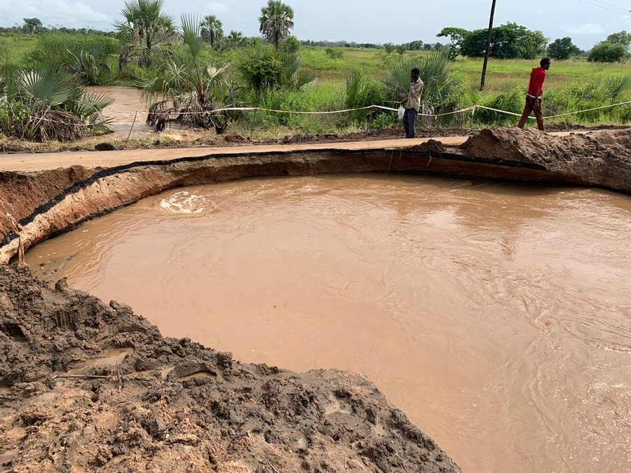

This seasonal flood will be long gone by the time most visitors arrive to Luangwa in the dry season, but it will certainly be remembered by all who lived through it. Of course, the damage that it has caused to crops and houses in the local community will only become clear when the waters have receded and that will be a longer-term challenge to address.

